Typhoon-Resilient Geography
Why Nature Positioned Davao in One of the Safest Weather Spots in the Philippines
Naturally shielded from severe Pacific typhoons by Mount Apo and regional mountains.
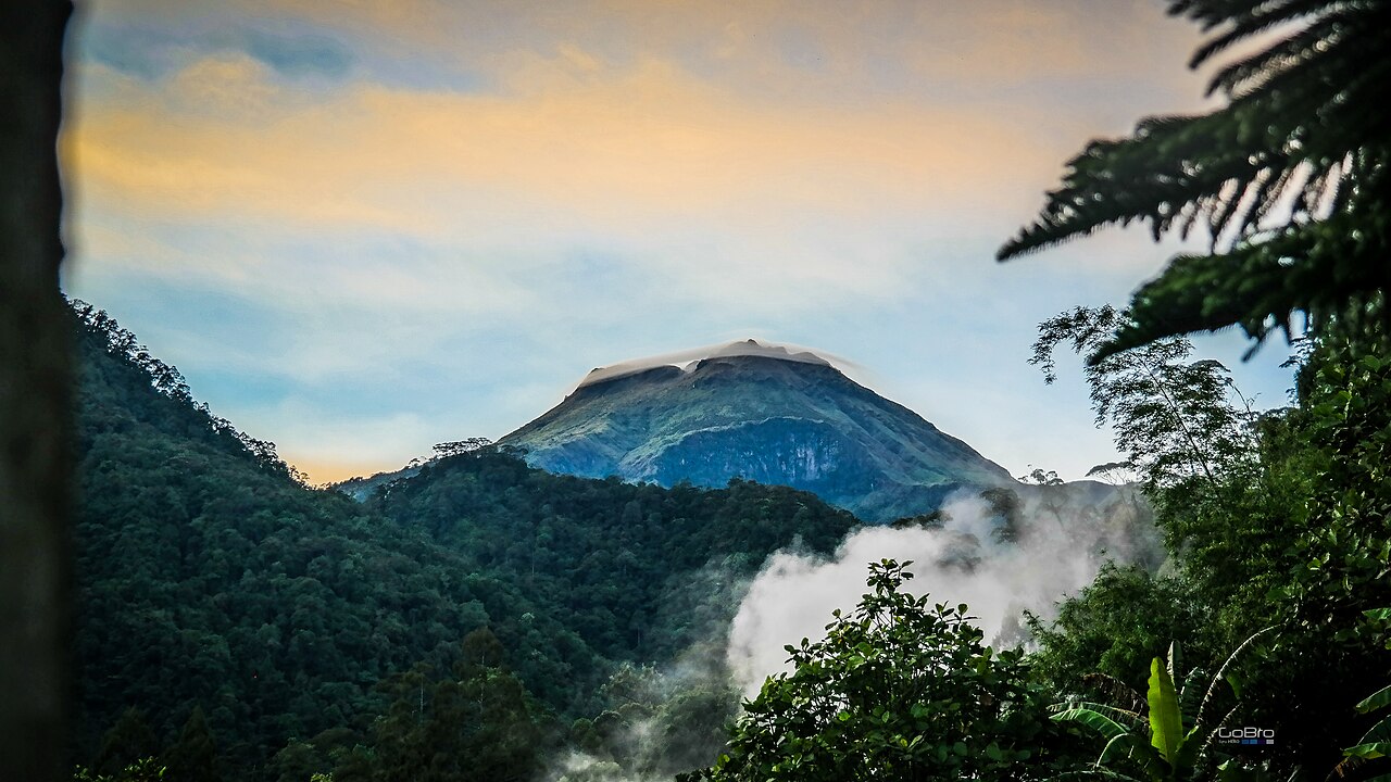
Typhoon-Resilient Geography
Understanding the Civic Reality
Geography is easily one of Davao's biggest gifts. Sitting at 7 degrees North latitude down in Southern Mindanao, the city is well south of the dangerous Pacific typhoon expressway that wrecks parts of the Visayas and Luzon every rainy season. On top of that, Mount Apo and the high mountain ranges of Bukidnon form a natural windbreaker that dampens severe weather before it ever touches the city. For families, that means less worry about blown-off roofs. For business owners, it means factories, farms, and shipping run smoothly 12 months a year.
How Davao Makes It Work
Outside the Typhoon Alley
Historical weather records from PAGASA show that over 95% of tropical cyclones entering Philippine waters never hit Southern Mindanao directly.
Year-Round Growing Seasons
Local farmers in Calinan, Baguio, and Marilog harvest fruit, coffee, and vegetables year-round without seeing entire crops wiped out by category 5 winds.
River Sensors & Early Flood Warnings
Automated water-level gauges along the Davao and Talomo rivers sound alarms hours ahead of time if upland rain in the mountains starts raising water levels.
Coastal Sea Wall Defense
The newly built Davao Coastal Road doubles as an engineered sea wall, protecting shoreline communities against high tides and storm surges along the gulf.
Verified Real-World Impacts
Mount Apo stands as a colossal physical barrier against harsh regional storm fronts.
Nearly all major cyclones veer far north, sparing Davao from catastrophic winds.
The sheltered waters of Davao Gulf allow cargo ships and fishing boats to operate without seasonal shutdowns.
Citizen Tips for Residents & Newcomers
- ✓While strong typhoons are rare, afternoon thunderstorms can bring sudden heavy downpours. Keep street gutters clear around your home to prevent localized water puddles.
- ✓Sign up for local CDRRMO weather text alerts during the monsoon months so you know what is happening in the upland river catchments.
- ✓Take a weekend trip up to Marilog or the foothills of Mount Apo in Kapatagan to experience crisp mountain air that feels like Baguio, just an hour from town.